Plans & Vibes
A visual snapshot of where EarthPulse is headed, plus project ideas we want to explore next.
Gallery
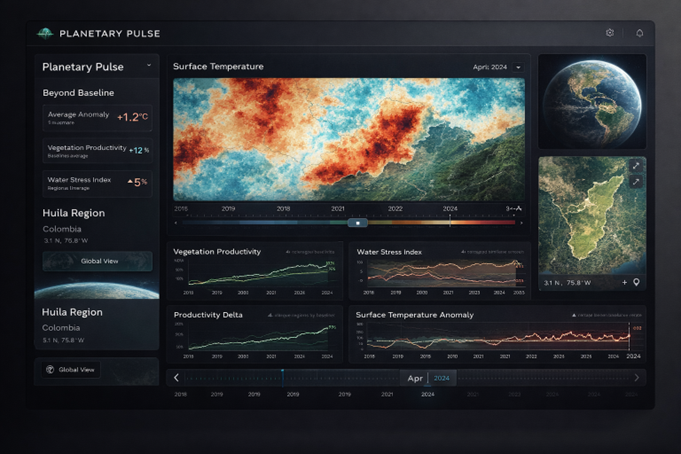
Explore Viewer Mockup
A preview of the full-fledged Explore experience: live metrics, temporal controls, and
comparison dashboards.
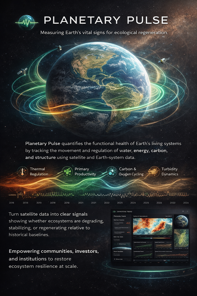
Poster Concept 1
Visual story for EarthPulse: Earth Metrics, regeneration, and planetary-scale clarity.
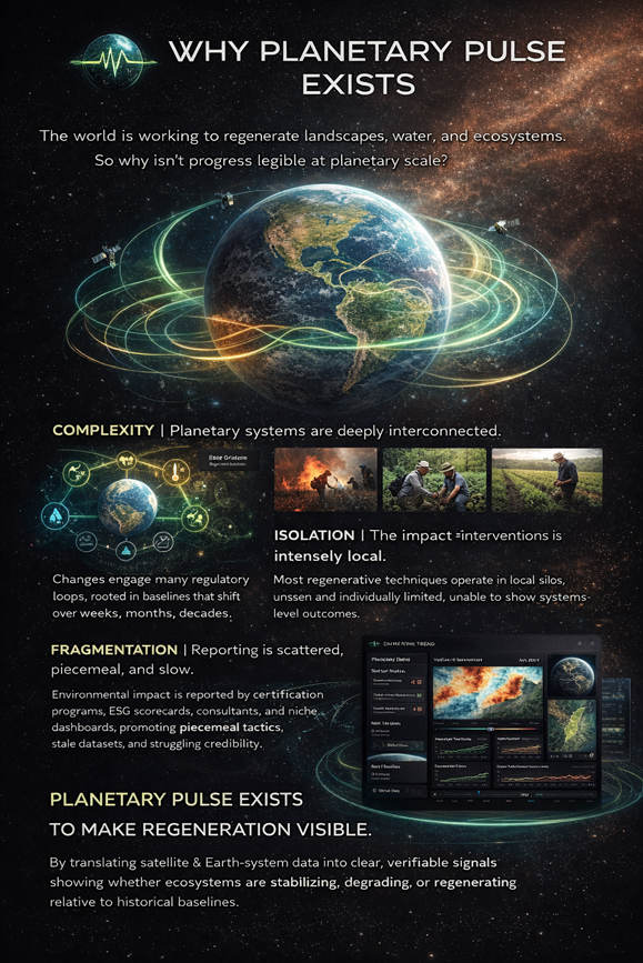
Poster Concept 2
Why EarthPulse exists: making regeneration visible at planetary scale.
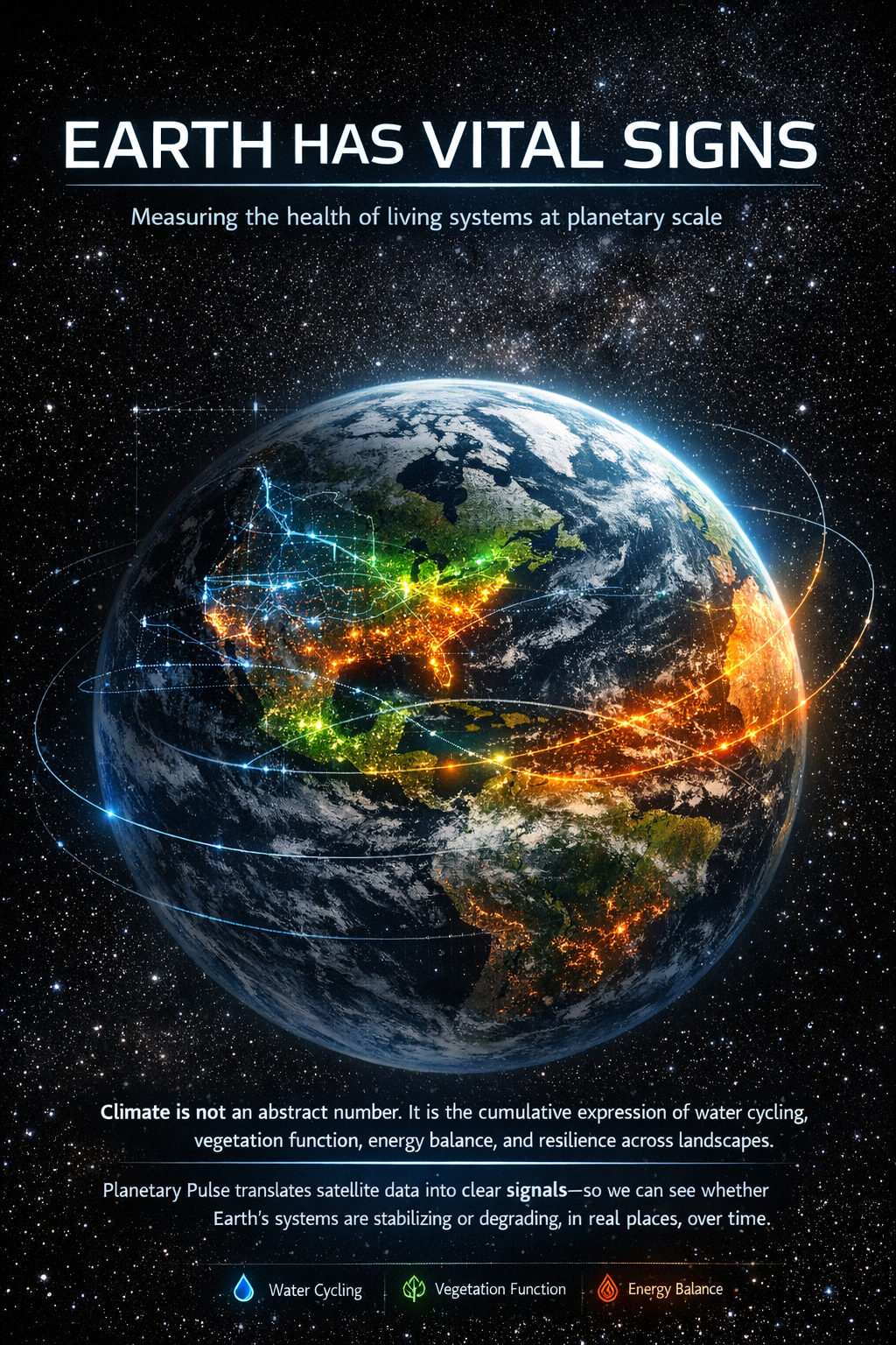
Earth Has Vital Signs
Emphasizes Earth Metrics as a global vital signs system with clear, legible signals.
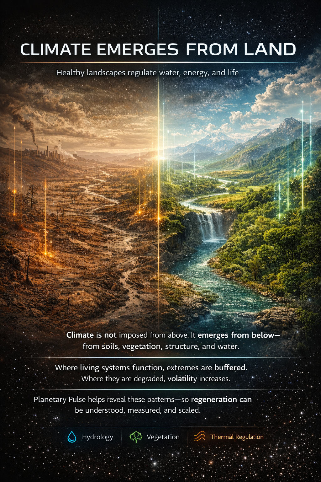
Climate Emerges From Land
Visual framing of landscape-driven climate regulation and emergent stability.
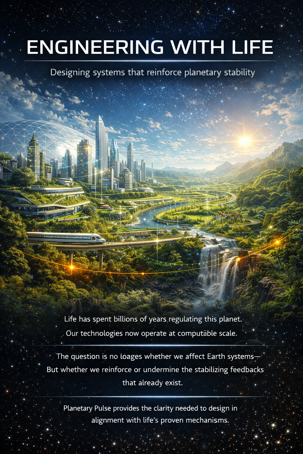
Engineering With Life
Positions regeneration as a systems engineering challenge aligned with living feedbacks.
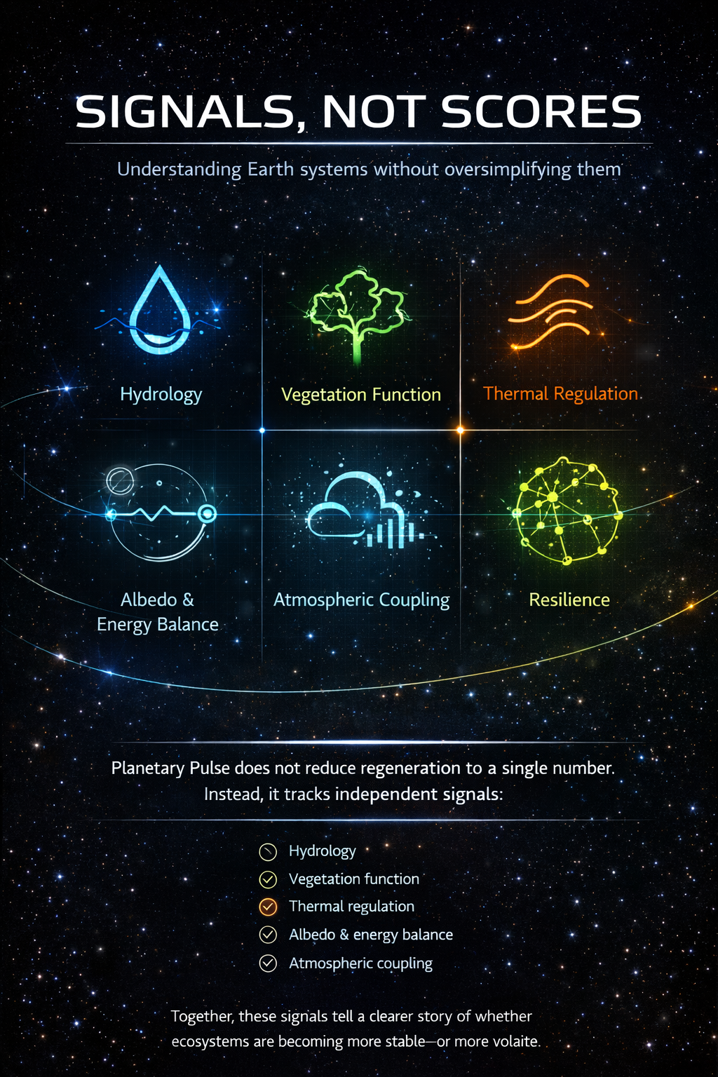
Signals, Not Scores
Reinforces that Earth Metrics are continuous signals, not simplistic ratings.
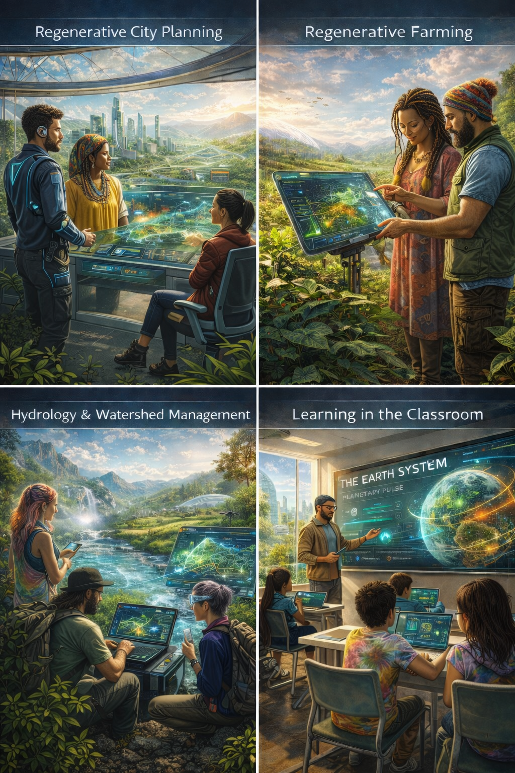
Fun Future Visualization
A playful concept sketch exploring how future visuals could highlight Earth Metrics and energy flows.
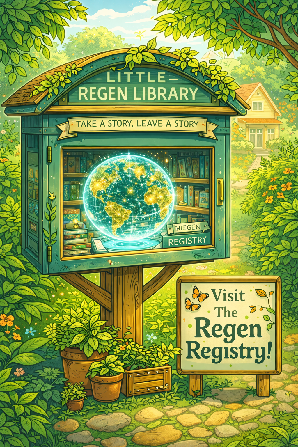
Regen Registry Poster
Invitation artwork for the Regen Registry as a living library of regeneration and hope.
Project Ideas
Time-Lapse Comparisons
Side-by-side timelines for any location, showing how Earth Metrics shift before and after intervention.
Baseline Matching
Automatic selection of comparable control regions to make regeneration impact measurable and credible.
Project Storylines
Narrative sequences that combine imagery, metrics, and field notes into a clear visual report.
Community Submissions
Lightweight intake for new projects with validation workflows and provenance tracking in the Regen Registry.
Control-Area Selection
Select an area of interest (AOI) and automatically match a climatically similar control block with no intervention,
so users can compare changes back and forth.
Direct Satellite Data Collection
Integrate real satellite data streams so Earth Metrics are generated from live, authoritative observations.
Costa Rica Learnings
Envision to Field Pipeline
Translate festival inspiration into operational land projects: watershed diagnostics,
community agreements, and measurable Earth Metrics baselines.
Sixto Luna Mangrove Agroforestry
Add a dedicated coast-to-inland restoration storyline in the Regen Registry, tracking mangrove edge
protection, agroforestry transition zones, and local climate signals.
Andrew Milison Video Layer
Expand project entries with embedded case-study videos so each location includes practical design context
and implementation examples.
UN WFP Half-Moon Restoration Track
Add a dedicated Sahel project sequence focused on half-moon earthworks and runoff capture,
with linked videos and references showing food-security and groundwater impacts.